Stockland Green is a residential district in the north-east of Birmingham, lying between Erdington, Tyburn, Pype Hayes and the edge of Sutton Coldfield. It takes its name from Stockland, an old area of farmland and smallholdings that once lay on the rural fringe of the ancient parish of Erdington. For centuries this was a quiet agricultural landscape of fields, hedgerows and scattered farms, supplying food to the growing town of Birmingham further south.
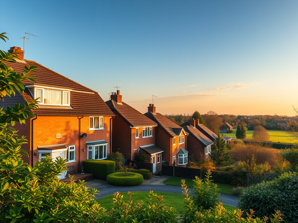
The character of Stockland Green changed dramatically in the early twentieth century as Birmingham expanded outwards and new housing was needed for a rapidly growing population. Large areas of the district were developed between the 1920s and the 1950s, with rows of semi-detached houses, short terraces and some low-rise flats built to house families moving out of the city’s more crowded inner areas. Much of this housing was constructed by Birmingham City Council as part of its interwar and post-war slum clearance and suburban expansion programmes, creating a stable, largely owner-occupied and council-housed community.
Although Stockland Green itself does not contain grand historic buildings on the scale of some older Birmingham districts, it lies close to several important landmarks that have shaped its development. To the east is Pype Hayes Park, which occupies the former grounds of Pype Hayes Hall, a large country house that once stood amid extensive parkland. Although the hall was demolished in the mid twentieth century, the park remains one of the area’s most important green spaces, preserving part of the historic landscape that once surrounded Stockland Green.
The area is also strongly connected to Erdington, one of Birmingham’s oldest settlements, with roots going back to medieval times. Erdington’s historic high street, old inns and churches provided the commercial and social focus for the surrounding suburbs, including Stockland Green, and helped shape its identity as part of a wider northern Birmingham community. The district’s name survives today in Stockland Green Road and in the Stockland Green ward, reflecting its origins as a distinct rural place before urbanisation.
Stockland Green has long been served by good transport links, particularly through Erdington railway station and major roads such as Tyburn Road and Kingsbury Road, which connect it to Birmingham city centre, Sutton Coldfield and the wider West Midlands. These links made it attractive as a suburban area for workers commuting to factories, workshops and offices across the city during the twentieth century.
Today Stockland Green remains a predominantly residential area, defined by its interwar housing, its proximity to parks and open spaces and its close ties to Erdington and Sutton Coldfield. It represents a typical but important part of Birmingham’s suburban story, where former farmland was transformed into settled neighbourhoods that gave thousands of families better homes and helped shape the modern city.


Leave a Reply