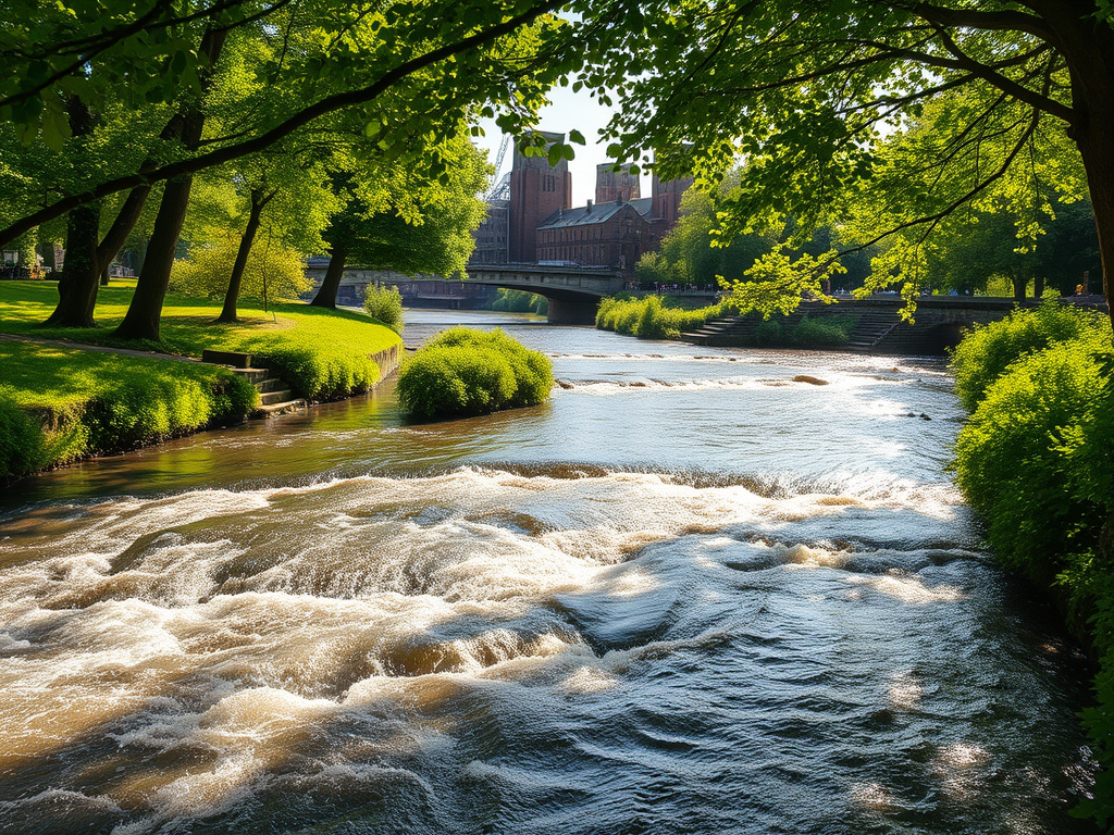
Birmingham sits not on one great river but on a web of small rivers and brooks that rise in the surrounding hills and flow outward in different directions. This unusual geography placed the town on a watershed, where streams run towards the River Severn, the River Trent and the River Avon. Far from being a disadvantage, this gave Birmingham a unique strategic position: it was safe from flooding, rich in water power, and perfectly placed to be linked by canals.
The most important of Birmingham’s rivers is the River Rea. It rises near Waseley Hills in Rubery and flows north-east through Cotteridge, Stirchley, Selly Oak, Cannon Hill Park and Edgbaston before entering Digbeth and the city centre. It then turns north and passes through Nechells before joining the River Tame, which eventually flows into the Trent and on to the Humber.
Long before Birmingham became a city, the Rea powered watermills, forges and small industries. Its valley provided one of the few natural routes into the town, which is why Digbeth became Birmingham’s earliest industrial and trading quarter. Many of the earliest metalworking workshops stood beside the Rea, using its steady flow to drive machinery and wash ore.
Today, much of the River Rea in the city centre runs culverted beneath roads and railways, but in places such as Cannon Hill Park, Selly Oak and Stirchley it remains open and increasingly restored as a green corridor for wildlife and walkers.
Flowing into the Rea is the River Bourn, which gave its name to Bournbrook, Bournville and Bourneville Lane. It rises near Northfield and flows through Selly Oak and the University of Birmingham campus before joining the Rea. Like the Rea, the Bourn was once lined with mills and workshops and played a key role in the growth of Selly Oak and Edgbaston as industrial and residential areas.
To the north of the city flows the River Tame, Birmingham’s largest river by volume. It rises near Oldbury and runs through Perry Barr, Aston, Tyburn, Castle Vale and the eastern edge of the city before continuing through the Black Country and Staffordshire. The Tame was one of the most heavily industrialised rivers in Britain, serving ironworks, rolling mills, chemical plants and power stations. Aston and Nechells grew around its valley, and for over a century it was central to Birmingham’s heavy industry.
The River Cole runs through the south-east of Birmingham, rising near Wythall and flowing through Yardley, Sheldon and Stechford before joining the River Blythe and eventually the River Tame. The Cole is especially important in Birmingham’s cultural history because it flows through Sarehole Mill, where a young J. R. R. Tolkien lived and found inspiration for the landscapes of Middle-earth. Unlike many of Birmingham’s rivers, large stretches of the Cole remain open, green and surprisingly rural in character.
The River Blythe, which forms part of Birmingham’s eastern boundary, flows through Solihull and Warwickshire and is one of the cleanest and most ecologically valuable rivers in the region. It helped shape the rural fringe that once separated Birmingham from the countryside.
Alongside these rivers are dozens of brooks and streams such as the Hockley Brook, Witton Brook, Ford Brook and Plants Brook. These smaller waterways powered workshops, marked parish boundaries and determined where early roads and settlements were built. Many are now hidden underground, but their routes still influence the shape of the city.
Birmingham’s rivers also explain why the city became the heart of Britain’s canal network. Because it sat on a watershed, engineers could link the Rea, Tame and other valleys with canals that carried goods to the Severn, the Thames and the Humber. Birmingham did not need a great navigable river — it built its own.
Today, Birmingham’s rivers are being rediscovered. The River Rea, Cole and Tame are the focus of restoration projects aimed at improving water quality, wildlife habitats and public access. Walkways, parks and green corridors now follow routes that were once lined with factories and mills.
Although they no longer drive industry, Birmingham’s rivers still shape the city. They define neighbourhoods, provide green space, support wildlife and quietly trace the story of how a small market town became the workshop of the world.
Most people never see them — but Birmingham is, and always has been, a city of rivers.







Leave a Reply