Woodgate is a residential district on the western side of Birmingham, close to Bartley Green, Harborne and Quinton. Its development is closely linked to Birmingham’s 20th-century suburban expansion, particularly the city’s efforts to provide improved housing for working families as industry and population continued to grow.
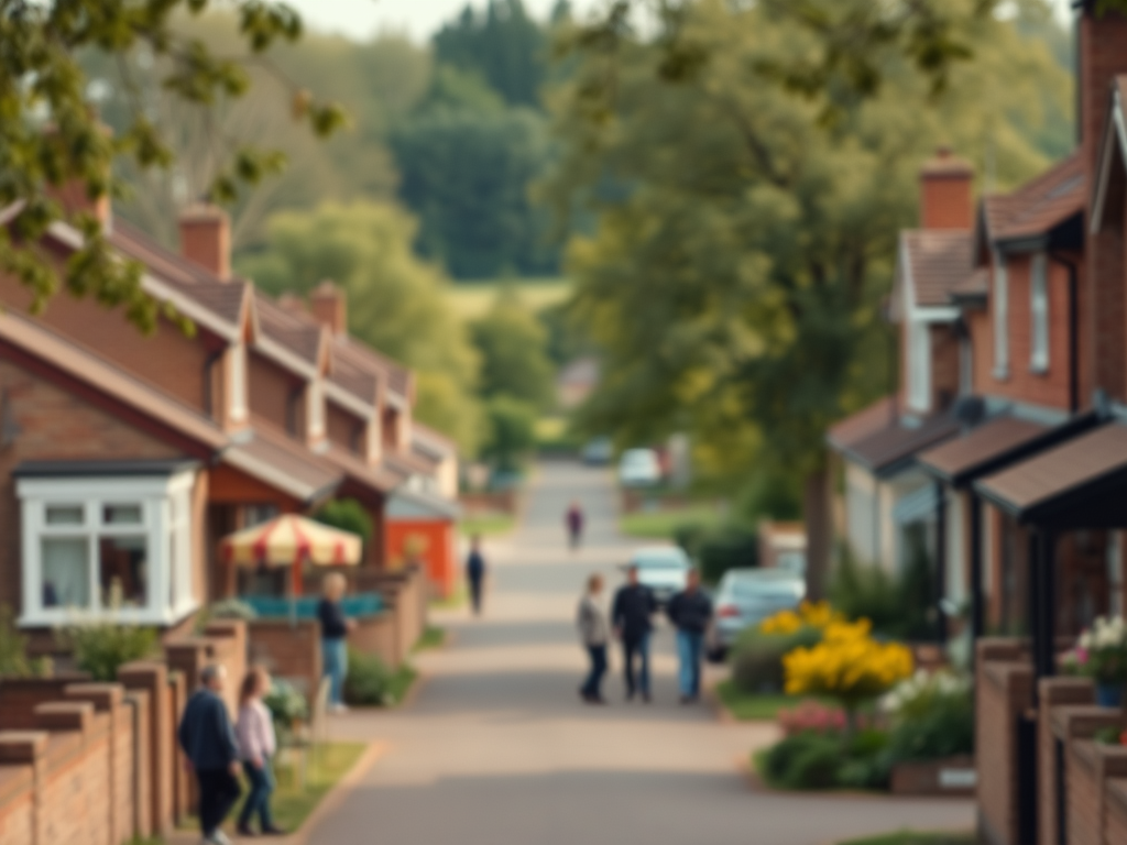
Historically, Woodgate was largely rural, made up of farmland and open countryside on the edge of the city. This began to change during the inter-war years and more decisively after the Second World War, when Birmingham City Council developed large housing estates to address shortages and replace inner-city slums. Much of Woodgate’s housing dates from the late 1940s and 1950s and reflects post-war municipal design, with low-rise homes, gardens and planned open spaces.
Many residents were employed in nearby industrial areas and factories across west and south-west Birmingham, while others worked in service and public-sector roles as the city’s economy diversified. The area developed a strong local identity around schools, local shops, churches and community facilities that supported everyday life.
Woodgate lies directly alongside Woodgate Valley Country Park, with the northern sections of the park bordering the district and providing easy access to open countryside. The park extends south through neighbouring areas along the River Rea, reinforcing Woodgate’s connection to green space and giving it a more open, suburban character.
Today, Woodgate remains a predominantly residential neighbourhood, representative of Birmingham’s post-war housing programmes and the city’s broader transition from heavy industry toward suburban living and community-focused development.







Leave a Reply